
Tayabas at a glance
One historic city.
Sixty-six communities.
A connected view of Tayabas—its people, land, communities, city government, and the natural systems that sustain it.
Tayabas at a glance
A connected view of Tayabas—its people, land, communities, city government, and the natural systems that sustain it.
23,238.48
Hectares of land
66
Barangays
112,658
Residents · 2020 census
2007
Cityhood
Place and environment
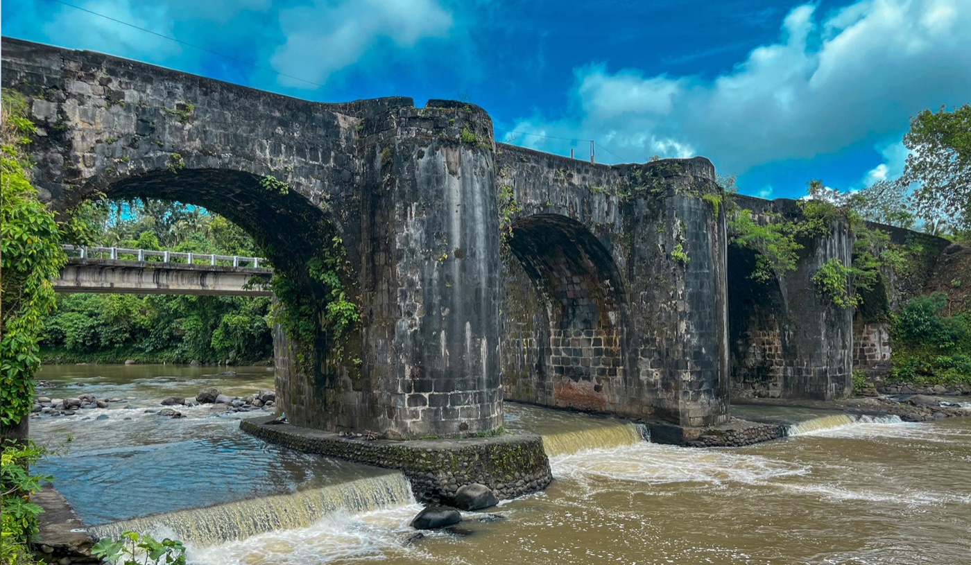
Tayabas developed within a landscape of watersheds, streams, rivers, agricultural areas, and settlements. The relationship between upland water sources and community life remains a defining thread in the city’s history and public vision.
Foothill city
Connected to the Mount Banahaw landscape and its ecological systems.
Cradle of water
Rivers and tributaries shape local settlement, farming, and civic identity.
Know the city
66 communities
Find every barangay and its local leadership, including SK officials.
Open directoryCity government
Know the offices delivering services across the city.
Open directoryExplore the landscape
Locate destinations, places to stay, food, and experiences.
Open directoryGo deeper
See how the city became what it is today.